


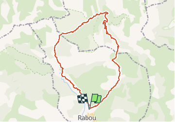

8,6 km | 18,5 km-effort

Utilisateur GUIDE


Application GPS de randonnée GRATUITE
 SityTrail
IGN / Instituts géographiques
SityTrail World
Le monde est à vous
Randonnée Marche de 18,9 km à découvrir à Provence-Alpes-Côte d'Azur, Hautes-Alpes, Rabou. Cette randonnée est proposée par nadd73.
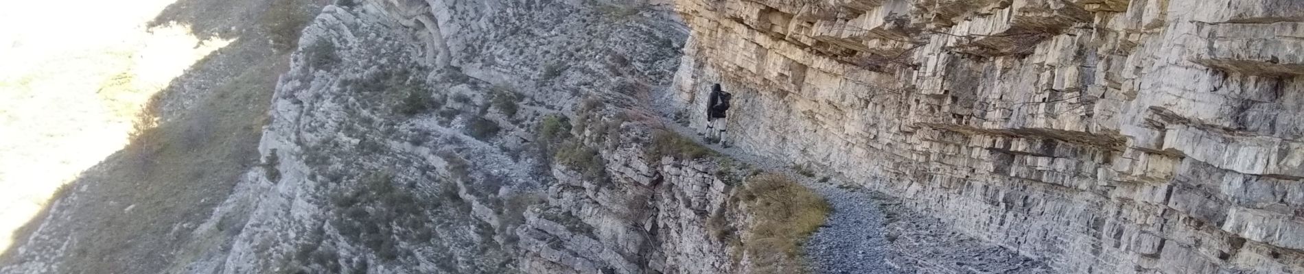
départ au dessus de Rabou. suivre le GR passer dans les gorges Chaudin. col de Chabanotte descente sur tournillon . randonnée longue


Marche

Marche

Marche

Marche

Marche

Marche

Marche

Marche

V.T.T.