


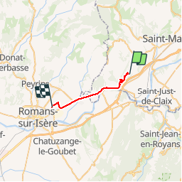

5,9 km | 10,3 km-effort


Utilisateur


Application GPS de randonnée GRATUITE
 SityTrail
IGN / Instituts géographiques
SityTrail World
Le monde est à vous
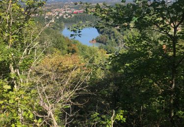
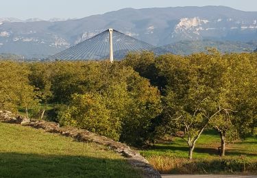
Randonnée Randonnée équestre de 19,2 km à découvrir à Auvergne-Rhône-Alpes, Isère, Saint-Bonnet-de-Chavagne. Cette randonnée est proposée par MR C3A.
progrès à faire avec sity trail
Marche
Marche

Marche

sport
Marche
Marche

Vélo de route
Marche
V.T.T.