


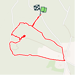


10,3 km | 18 km-effort

Utilisateur


Application GPS de randonnée GRATUITE
 SityTrail
IGN / Instituts géographiques
SityTrail World
Le monde est à vous
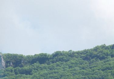
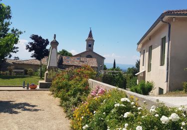
Randonnée Marche de 2,6 km à découvrir à Auvergne-Rhône-Alpes, Drôme, Upie. Cette randonnée est proposée par bob2023.
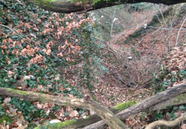
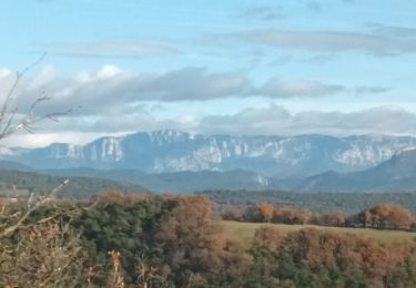
balade bucolique. Petit chemin dans les bois. Montée très raide sur 100 m pour aller à la Vierge mais vaut le coups. Point de vue à 360° sur toute la vallée. Note 8/10


Marche

Marche

sport
sport
Marche
Marche
Marche
Marche
Marche