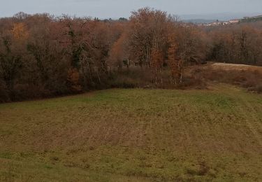
17,2 km | 23 km-effort
Trek écoute s’il pleut
Tchips
Utilisateur
Longueur
9,8 km
Altitude max
274 m
Dénivelé positif
191 m
Km-Effort
12,3 km
Altitude min
152 m
Dénivelé négatif
191 m
Boucle
Oui
Date de création :
2019-11-03 16:19:12.0
Dernière modification :
2019-11-03 17:25:38.972
1h03
Difficulté : Facile
Application GPS de randonnée GRATUITE
À propos
Randonnée Trail de 9,8 km à découvrir à Occitanie, Lot, Gourdon. Cette randonnée est proposée par Tchips.
Localisation
Pays :
France
Région :
Occitanie
Département/Province :
Lot
Commune :
Gourdon
Localité :
Unknown
Départ:(Dec)
Départ:(UTM)
372793 ; 4955502 (31T) N.
Commentaires
Randonnées à proximité
Chemin entre Gourdon et les Magnanies
Marche
Très difficile
Gourdon,
Occitanie,
Lot,
France
21 km | 25 km-effort
3h 59min
Non
2022 07 rando ROCAMADOUR - GOURDON -SALVIAC
Marche
Très difficile
Gourdon,
Occitanie,
Lot,
France
19,6 km | 23 km-effort
3h 49min
Non
Boucle St Cirq Madelon
V.T.T.
Facile
Payrignac,
Occitanie,
Lot,
France
15,9 km | 21 km-effort
1h 6min
Non
gourdon les etangs
Marche
Facile
Gourdon,
Occitanie,
Lot,
France
9,2 km | 11,6 km-effort
2h 55min
Oui
didi
Randonnée équestre
Facile
Saint-Clair,
Occitanie,
Lot,
France
8,2 km | 11,1 km-effort
1h 31min
Non