


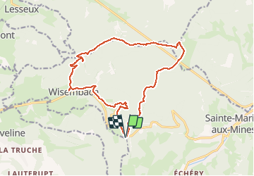

14,1 km | 21 km-effort

Utilisateur


Application GPS de randonnée GRATUITE
 SityTrail
IGN / Instituts géographiques
SityTrail World
Le monde est à vous
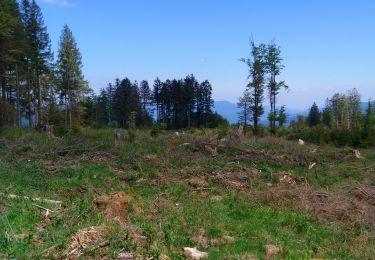
Randonnée Marche de 16,4 km à découvrir à Grand Est, Vosges, Wisembach. Cette randonnée est proposée par DanielROLLET.
2019 11 02 avec Marie - 10h10 à 16h00
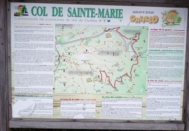
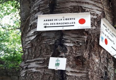
Départ:Retour au col de Sainte-Marie (possible depuis Wisembach.
Temps trés humide et venteux. Quelques averses
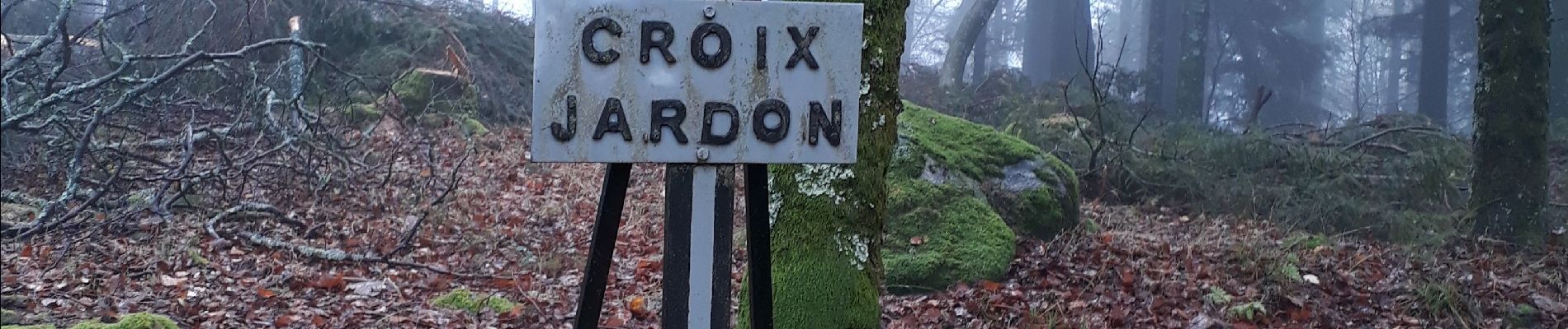
Pertes de temps à cause des champignons.
Plusieurs erreurs


Marche

Marche

Randonnée équestre

Marche

Marche
Marche
Marche
Marche nordique
Marche