


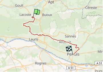

9,3 km | 14,2 km-effort


Utilisateur


Application GPS de randonnée GRATUITE
 SityTrail
IGN / Instituts géographiques
SityTrail World
Le monde est à vous
Randonnée V.T.T. de 45 km à découvrir à Provence-Alpes-Côte d'Azur, Vaucluse, Bonnieux. Cette randonnée est proposée par lauramb.
TDL 2014 CM1CM2 école Georges Brassens.
Étape 3 (la plus difficile)
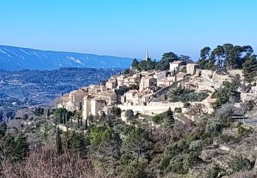
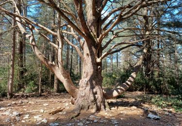
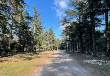
Bonnieux - Pertuis en passant par la forêt des Cèdres.

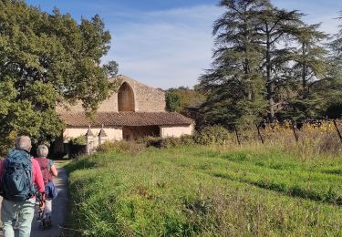
Marche

A pied

Marche
Marche
Marche
Marche
Marche
Marche
Marche