


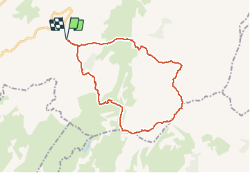

17,3 km | 29 km-effort

Utilisateur


Application GPS de randonnée GRATUITE
 SityTrail
IGN / Instituts géographiques
SityTrail World
Le monde est à vous
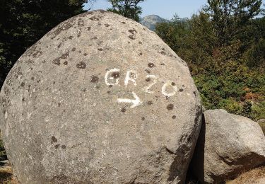
Randonnée Marche de 19,2 km à découvrir à Corse, Corse-du-Sud, Zicavo. Cette randonnée est proposée par cathymac20.
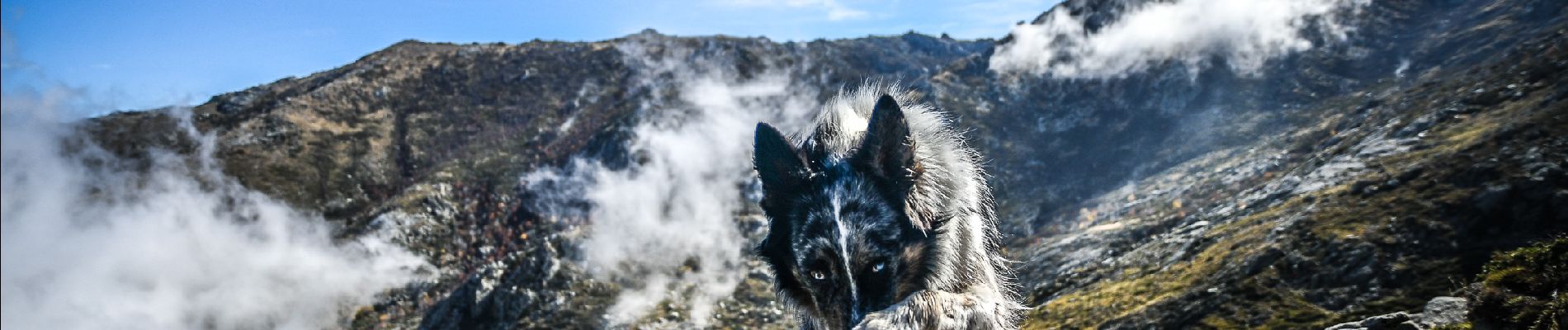
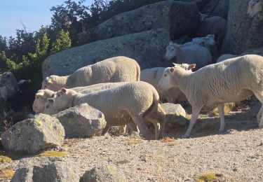
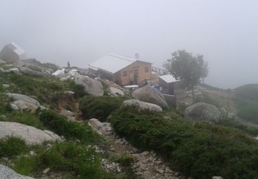
Le plus haut sommet de corse du sud, 2134 m au départ du refuge de Maltaza, magnifique, avec de belles couleurs automnales, nous avons fait une boucle pour revenir par le refuge des Croci


Marche
V.T.T.
Marche
Marche
Marche
Marche
Marche
Marche
