


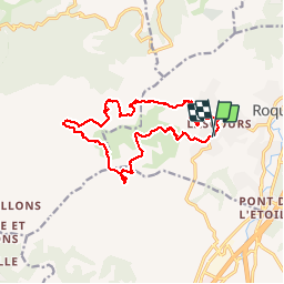


14,2 km | 24 km-effort

Utilisateur GUIDE


Application GPS de randonnée GRATUITE
 SityTrail
IGN / Instituts géographiques
SityTrail World
Le monde est à vous
Randonnée Marche de 15,6 km à découvrir à Provence-Alpes-Côte d'Azur, Bouches-du-Rhône, Roquevaire. Cette randonnée est proposée par nadinebondoux.
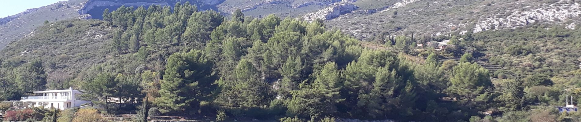
Très belle rando sur les marches de Pagnol à éviter pendant les chaleurs.
Magnifiques paysages à perte de vue.
Aller retour au Pic du Taoume en sus


22 photos au total. Cliquez sur une photo pour les afficher toutes dans la galerie.

Marche

Marche

Marche

Marche

Marche

A pied

V.T.T.

Marche

Marche