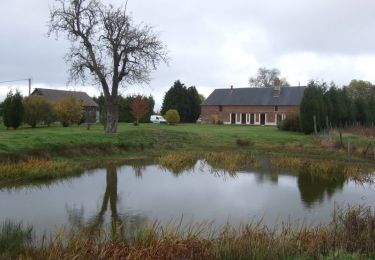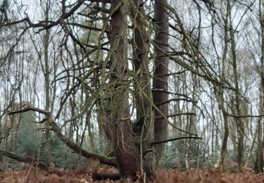

2019-10-25 St Germain d'Aunay

BPinglier
Utilisateur

Longueur
9,3 km

Altitude max
232 m

Dénivelé positif
121 m

Km-Effort
10,9 km

Altitude min
186 m

Dénivelé négatif
123 m
Boucle
Oui
Date de création :
2019-10-25 14:28:53.796
Dernière modification :
2019-10-25 17:19:55.246
2h06
Difficulté : Très facile

Application GPS de randonnée GRATUITE
À propos
Randonnée Marche de 9,3 km à découvrir à Normandie, Orne, Saint-Germain-d'Aunay. Cette randonnée est proposée par BPinglier.
Description
Randonnée facile et assez ombragée sur chemins généralement non balisés. Quelques portions de route goudronnée peu fréquentée. Prévoir de bonnes chaussures.
Parking possible près du monument aux morts.
Localisation
Pays :
France
Région :
Normandie
Département/Province :
Orne
Commune :
Saint-Germain-d'Aunay
Localité :
Unknown
Départ:(Dec)
Départ:(UTM)
307972 ; 5422392 (31U) N.
Commentaires
Randonnées à proximité

Le Sap


Marche
Très facile
(1)
Sap-en-Auge,
Normandie,
Orne,
France

13,5 km | 15,1 km-effort
3h 20min
Oui

Circuit de la Grande Vallée - La Goulafrière


Marche
Moyen
La Goulafrière,
Normandie,
Eure,
France

11,2 km | 13,1 km-effort
2h 45min
Oui

La Goulafriere 27


Marche
Facile
La Goulafrière,
Normandie,
Eure,
France

11,9 km | 13,9 km-effort
3h 8min
Oui


run


Course à pied
Très facile
La Ferté-en-Ouche,
Normandie,
Orne,
France

4,6 km | 4,9 km-effort
23min
Oui


monnai


Marche
Difficile
La Ferté-en-Ouche,
Normandie,
Orne,
France

13,2 km | 14,6 km-effort
2h 40min
Oui

Simon Yannick


Moto
Très facile
La Ferté-en-Ouche,
Normandie,
Orne,
France

18,6 km | 22 km-effort
54min
Non

Le valet /vimoutiers


Moto
Facile
La Ferté-en-Ouche,
Normandie,
Orne,
France

50 km | 59 km-effort
1h 55min
Non


 SityTrail


