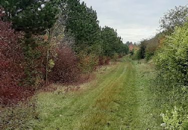
15,4 km | 17,7 km-effort
s
rando-yves
Utilisateur
Longueur
14,2 km
Altitude max
100 m
Dénivelé positif
67 m
Km-Effort
15,1 km
Altitude min
80 m
Dénivelé négatif
68 m
Boucle
Oui
Date de création :
2019-10-18 08:03:03.063
Dernière modification :
2019-10-25 08:07:53.658
3h39
Difficulté : Très facile
Application GPS de randonnée GRATUITE
À propos
Randonnée Marche de 14,2 km à découvrir à Grand Est, Aube, Saint-Mesmin. Cette randonnée est proposée par rando-yves.
Description
t mesmin stade
Localisation
Pays :
France
Région :
Grand Est
Département/Province :
Aube
Commune :
Saint-Mesmin
Localité :
Unknown
Départ:(Dec)
Départ:(UTM)
568917 ; 5366355 (31U) N.
Commentaires
Randonnées à proximité
Rilly Chauchigny saint mesmin
Marche
Très facile
Rilly-Sainte-Syre,
Grand Est,
Aube,
France
3h 24min
Oui
john est mesmin
Marche
Facile
Saint-Mesmin,
Grand Est,
Aube,
France
51 km | 55 km-effort
5h 34min
Non
vallée de la seine
A pied
Facile
Saint-Mesmin,
Grand Est,
Aube,
France
13,3 km | 14,1 km-effort
3h 12min
Oui
vallée de la seine
A pied
Facile
Saint-Mesmin,
Grand Est,
Aube,
France
13,3 km | 14,1 km-effort
3h 12min
Oui
vallée de la seine
A pied
Facile
Saint-Mesmin,
Grand Est,
Aube,
France
13,3 km | 14,1 km-effort
3h 12min
Oui
rando st
Marche
Très facile
Fontaine-les-Grès,
Grand Est,
Aube,
France
13,3 km | 14,2 km-effort
3h 29min
Oui
courlanges retour
Marche
Très facile
Vallant-Saint-Georges,
Grand Est,
Aube,
France
3,6 km | 3,9 km-effort
1h 0min
Non
Vallant-Saint-Georges.(10) - Circuit à la découverte des 3 saints
Marche
Difficile
Vallant-Saint-Georges,
Grand Est,
Aube,
France
15,8 km | 16,9 km-effort
3h 50min
Oui