


4,4 km | 7,7 km-effort


Utilisateur


Application GPS de randonnée GRATUITE
 SityTrail
IGN / Instituts géographiques
SityTrail World
Le monde est à vous
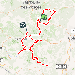
Randonnée Voiture de 205 km à découvrir à Grand Est, Vosges, Plainfaing. Cette randonnée est proposée par fredodlageo.
Race_rs2/3rs

Marche

Marche

V.T.T.
Randonnée équestre

Marche

Marche
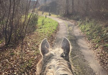
Randonnée équestre

Marche

Marche