


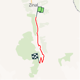


9,2 km | 13,7 km-effort


Utilisateur


Application GPS de randonnée GRATUITE
 SityTrail
IGN / Instituts géographiques
SityTrail World
Le monde est à vous
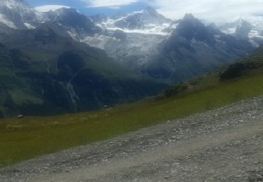
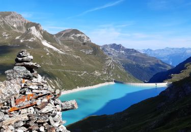
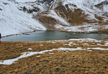
Randonnée Sports d'hiver de 5,4 km à découvrir à Valais, Sierre, Anniviers. Cette randonnée est proposée par nordicspot.
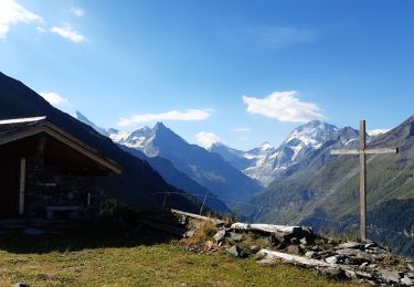
Altitude du parking : 1670 m
Altitude de la cabane : 2142 m
Temps de montée : 2h30
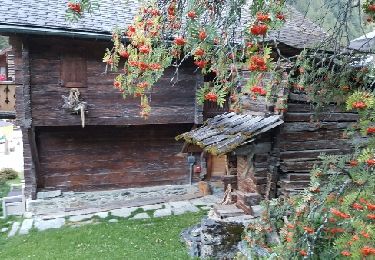
Un de nos spots "coup de coeur" en famille, avec nuit possible à la cabane.
Plus d''informations sur le site www.nordic-spot.com
Marche

Marche
Marche
Marche
Marche
Marche