


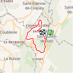

8,7 km | 16,8 km-effort

Utilisateur


Application GPS de randonnée GRATUITE
 SityTrail
IGN / Instituts géographiques
SityTrail World
Le monde est à vous
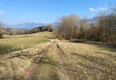
Randonnée Marche de 9,8 km à découvrir à Auvergne-Rhône-Alpes, Isère, La Sure en Chartreuse. Cette randonnée est proposée par choubaka77.
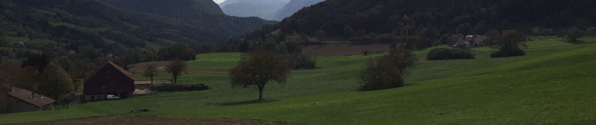
Belle balade d’automne où il faut prévoir le sac pour les châtaignes et pour les connaisseurs, les champignons !


Marche

Marche
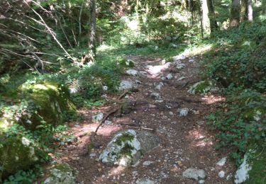
Marche

Marche
Marche

Randonnée équestre
Randonnée équestre
Marche
A pied