


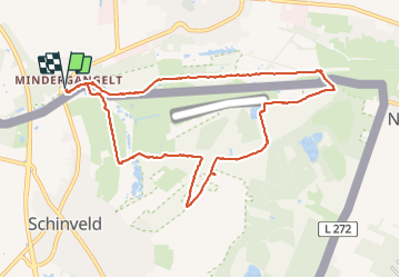

13 km | 15,3 km-effort

Utilisateur


Application GPS de randonnée GRATUITE
 SityTrail
IGN / Instituts géographiques
SityTrail World
Le monde est à vous
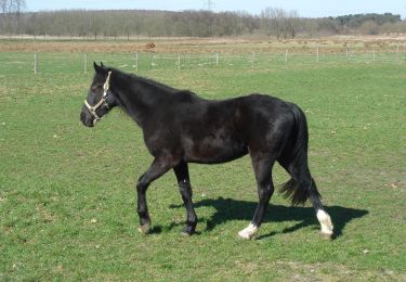
Randonnée Marche nordique de 9,3 km à découvrir à Rhénanie-du-Nord-Westphalie, Kreis Heinsberg, Gangelt. Cette randonnée est proposée par jos.wessels.
Een prachtige wandeling door gevarieerd landschap. Start en einde Brommler Muhle waar je ook heerlijk kan lunchen.


Marche
Marche
A pied
A pied
A pied
A pied
A pied
A pied
A pied