


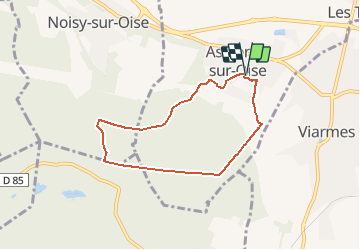

13,2 km | 14,5 km-effort


Utilisateur


Application GPS de randonnée GRATUITE
 SityTrail
IGN / Instituts géographiques
SityTrail World
Le monde est à vous
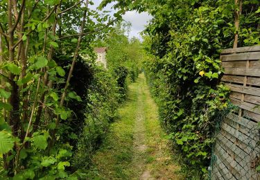
Randonnée Marche de 6 km à découvrir à Île-de-France, Val-d'Oise, Asnières-sur-Oise. Cette randonnée est proposée par Pousscailleux.
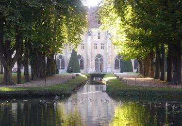
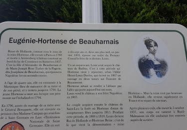
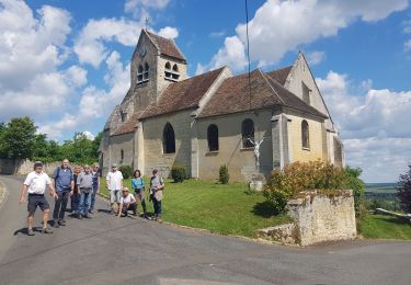
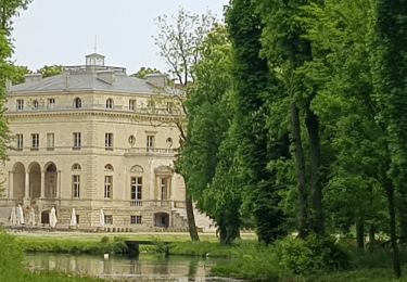
Départ d'un des deux parkings de l'église Saint Rémi. Passage près du château de Touteville et, en fin de parcours, du château de la Reine Blanche, en l'honneur de Blanche de Castille qui y séjourna de nombreuses fois ; sa construction débuta en l'an 900.
Marche
Marche
Marche
Marche

Marche
Marche
Marche
Marche
Marche