


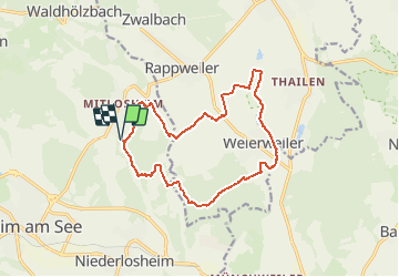

9,7 km | 12,9 km-effort


Utilisateur


Application GPS de randonnée GRATUITE
 SityTrail
IGN / Instituts géographiques
SityTrail World
Le monde est à vous
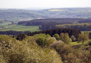
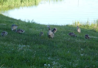
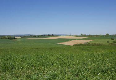
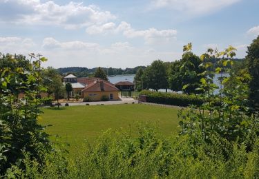
Randonnée Marche de 14 km à découvrir à Sarre, Landkreis Merzig-Wadern, Losheim am See. Cette randonnée est proposée par ppigeon.
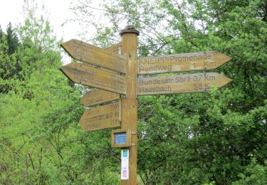
A pied
A pied
A pied
A pied
A pied
A pied

A pied
A pied
Marche