


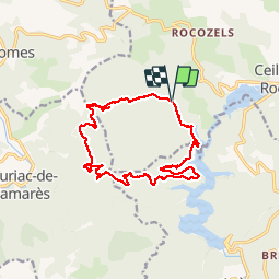


24 km | 34 km-effort

Utilisateur


Application GPS de randonnée GRATUITE
 SityTrail
IGN / Instituts géographiques
SityTrail World
Le monde est à vous
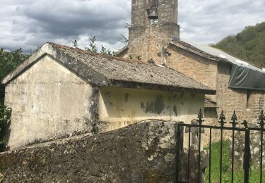
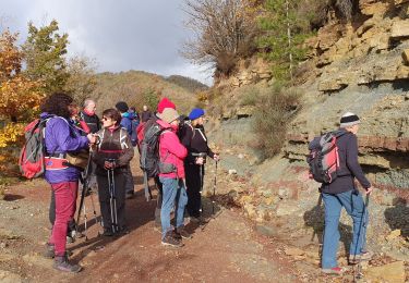
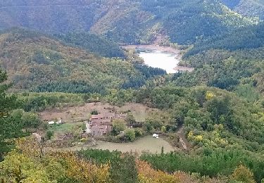
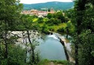
Randonnée Marche de 17 km à découvrir à Occitanie, Hérault, Ceilhes-et-Rocozels. Cette randonnée est proposée par mrclic34.
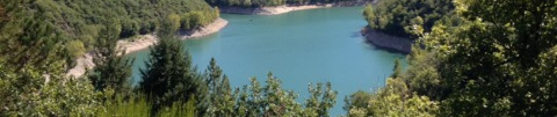
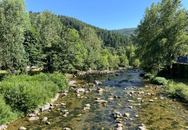
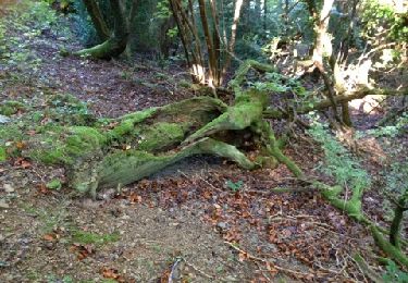
Très jolie rando, a faire éventuellement en été tellement elle est ombragée.bordant le lac d'aven et traversant de belles forets.


Marche
Marche
Marche
Marche
Marche
Marche
Marche
Marche
Marche