


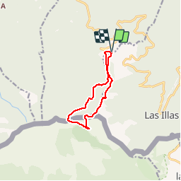

8,3 km | 14,1 km-effort


Utilisateur


Application GPS de randonnée GRATUITE
 SityTrail
IGN / Instituts géographiques
SityTrail World
Le monde est à vous
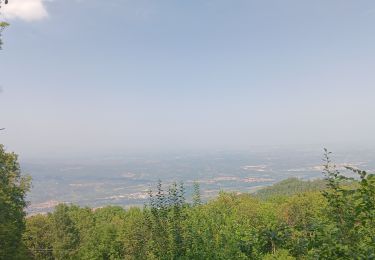
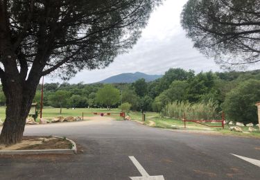
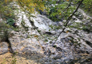
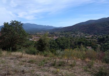
Randonnée Marche de 9,4 km à découvrir à Occitanie, Pyrénées-Orientales, Maureillas-las-Illas. Cette randonnée est proposée par Richard68500.
Randonnée Marche de 9,4 km à découvrir à MAUREILLAS-LAS-ILLAS, PYRENEES-ORIENTALES, LANGUEDOC-ROUSSILLON.
Le chemin des bandits (trabucaires), au-dessus de Cerret .

Marche

Marche
A pied

Marche
Marche
Marche
Marche
Autre activité
Marche