


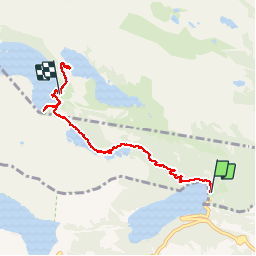

11,6 km | 28 km-effort

Utilisateur


Application GPS de randonnée GRATUITE
 SityTrail
IGN / Instituts géographiques
SityTrail World
Le monde est à vous
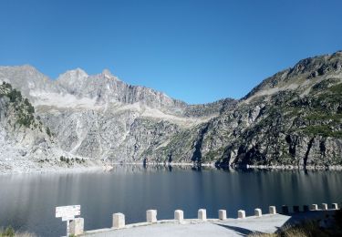
Randonnée Marche de 7,3 km à découvrir à Occitanie, Hautes-Pyrénées, Saint-Lary-Soulan. Cette randonnée est proposée par Papamoju.
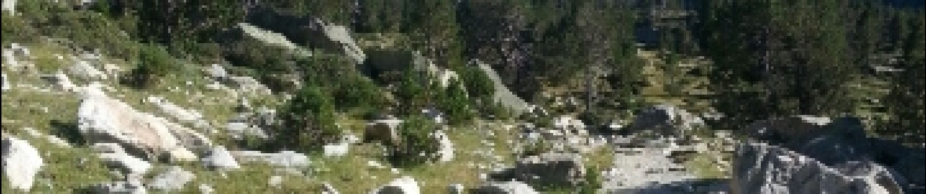
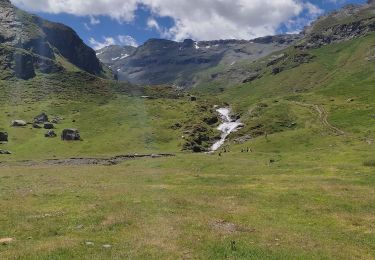
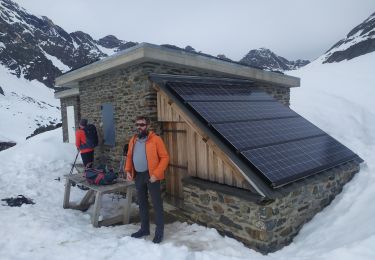
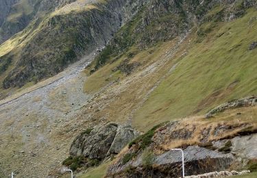
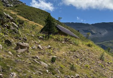
paysages magnifiques.
Belle ballade à faire en allé/retour mais possibilité de prendre une navette pour redescendre (2,5€)pour ceux qui comme moi ont des problème de genoux


Marche

Marche

Marche

Marche
Marche
Raquettes à neige
Marche
Marche

sport