


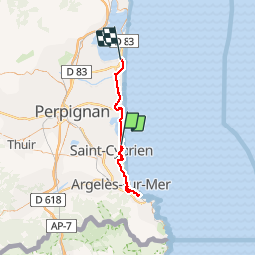

9,9 km | 10,3 km-effort


Utilisateur


Application GPS de randonnée GRATUITE
 SityTrail
IGN / Instituts géographiques
SityTrail World
Le monde est à vous
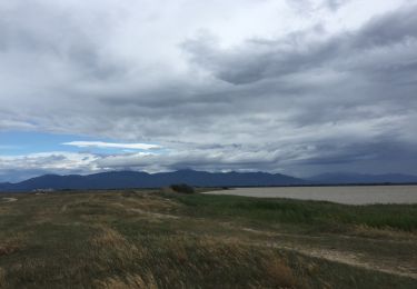
Randonnée V.T.C. de 62 km à découvrir à Occitanie, Pyrénées-Orientales, Saint-Cyprien. Cette randonnée est proposée par martoche.
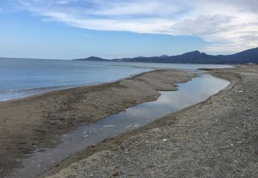
belles pistes cyclables mais très mal balisé a Canet .96 kms allez retour

Marche

Cheval
Marche
Marche
Marche

Marche

Marche
Marche
Marche