


10,5 km | 13,8 km-effort


Utilisateur


Application GPS de randonnée GRATUITE
 SityTrail
IGN / Instituts géographiques
SityTrail World
Le monde est à vous
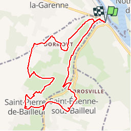
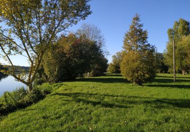
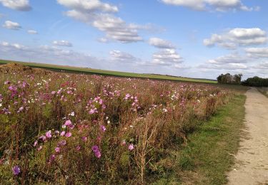
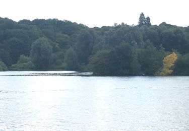
Randonnée Marche de 10,4 km à découvrir à Normandie, Eure, La Chapelle-Longueville. Cette randonnée est proposée par marcel.F.
Boucle longue au départ parking restaurant D6015 Au Goulet (D6015 entre Vernon et Gaillon)
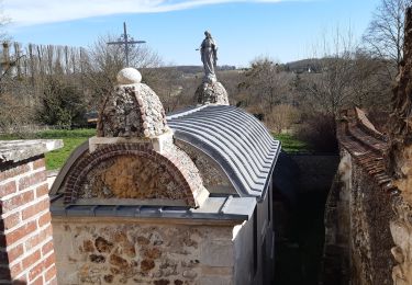
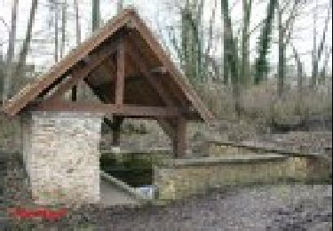
A la rencontre des lavoirs

Marche
Marche
Marche
Marche
Marche
Marche
Autre activité
Marche
Marche