


13,1 km | 27 km-effort

Utilisateur


Application GPS de randonnée GRATUITE
 SityTrail
IGN / Instituts géographiques
SityTrail World
Le monde est à vous
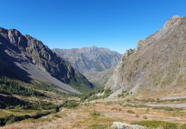
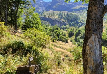
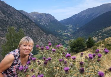
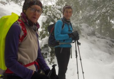
Randonnée Marche de 14 km à découvrir à Auvergne-Rhône-Alpes, Isère, Lavaldens. Cette randonnée est proposée par patjobou.
Belle boucle partielle dans des paysages très variés et sauvages. Peut se faire dans les deux sens, mais dans ce sens on profite de bons lacets pour la montée.


Marche

Marche
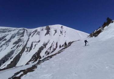
Ski de randonnée
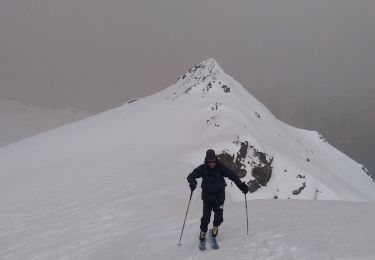
Ski de randonnée
Marche
Marche
Marche
Marche
Marche