56 km | 71 km-effort
de TOURNADOUS à TOURNADOUS
pipette12
Utilisateur
Longueur
14,7 km
Altitude max
761 m
Dénivelé positif
364 m
Km-Effort
19,5 km
Altitude min
490 m
Dénivelé négatif
366 m
Boucle
Oui
Date de création :
2014-12-10 00:00:00.0
Dernière modification :
2014-12-10 00:00:00.0
4h22
Difficulté : Très facile
Application GPS de randonnée GRATUITE
À propos
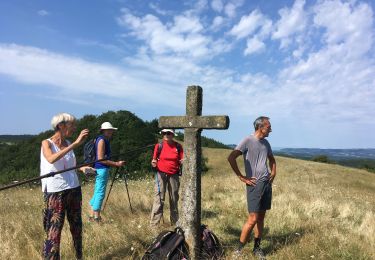
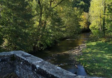
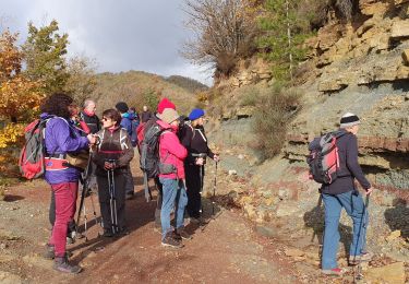
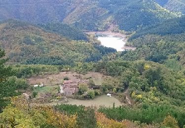
Randonnée Marche de 14,7 km à découvrir à Occitanie, Aveyron, Fondamente. Cette randonnée est proposée par pipette12.
Description
RANDONNÉE QUE JE CONSEILLE DE FAIRE À L'ÉPOQUE DES CHAMPIGNONS ET DES CHATAIGNES
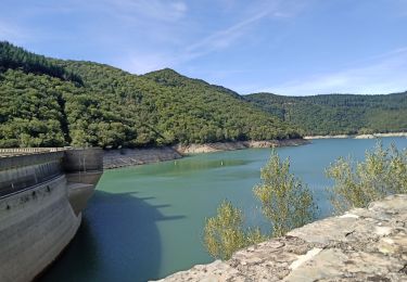
Localisation
Pays :
France
Région :
Occitanie
Département/Province :
Aveyron
Commune :
Fondamente
Localité :
Unknown
Départ:(Dec)
Départ:(UTM)
509461 ; 4854967 (31T) N.
Commentaires
Randonnées à proximité
guilhaumard n 1 col de licous au col de licous
Marche
Facile
(2)
Cornus,
Occitanie,
Aveyron,
France
14 km | 16,6 km-effort
3h 44min
Oui
Moules les ceps de bordeaux
Marche
Moyen
Fondamente,
Occitanie,
Aveyron,
France
8,6 km | 12 km-effort
5h 22min
Non
st Maurice de Sorgues
Marche
Facile
Fondamente,
Occitanie,
Aveyron,
France
15,6 km | 21 km-effort
6h 0min
Oui
ceilhes
Marche
Très facile
(1)
Ceilhes-et-Rocozels,
Occitanie,
Hérault,
France
9,6 km | 13,5 km-effort
3h 26min
Oui
Arsel 3-10-17 a partir de ce îles du col vert à montredon
Marche
Très facile
Ceilhes-et-Rocozels,
Occitanie,
Hérault,
France
22 km | 31 km-effort
6h 5min
Non
34 GRP Entre deux lacs J1 Ceilhes-Avène
Marche
Difficile
Ceilhes-et-Rocozels,
Occitanie,
Hérault,
France
17,2 km | 25 km-effort
5h 40min
Non
Ceilhes
Marche
Très difficile
Ceilhes-et-Rocozels,
Occitanie,
Hérault,
France
13,7 km | 19,6 km-effort
4h 39min
Oui
Moules fondamentales
sport
Très facile
Fondamente,
Occitanie,
Aveyron,
France
12,2 km | 16,6 km-effort
Inconnu
Oui