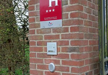
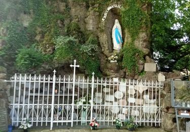
13,6 km | 16,5 km-effort
Blangy sur Ternoise
jpblimond
Utilisateur
Longueur
17,8 km
Altitude max
124 m
Dénivelé positif
305 m
Km-Effort
22 km
Altitude min
39 m
Dénivelé négatif
305 m
Boucle
Oui
Date de création :
2019-09-15 11:33:22.494
Dernière modification :
2019-09-15 16:11:18.911
4h36
Difficulté : Moyen
Application GPS de randonnée GRATUITE
À propos
Randonnée Marche de 17,8 km à découvrir à Hauts-de-France, Pas-de-Calais, Blangy-sur-Ternoise. Cette randonnée est proposée par jpblimond.
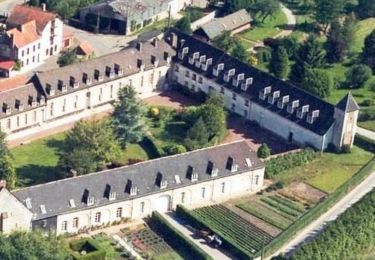
Localisation
Pays :
France
Région :
Hauts-de-France
Département/Province :
Pas-de-Calais
Commune :
Blangy-sur-Ternoise
Localité :
Unknown
Départ:(Dec)
Départ:(UTM)
440949 ; 5585900 (31U) N.
Commentaires
Randonnées à proximité
Sentier des Vallons - Blangy sur Ternoise
Marche
Difficile
(1)
Blangy-sur-Ternoise,
Hauts-de-France,
Pas-de-Calais,
France
3h 0min
Oui
boucle des 2 châteaux Bermicourt Humeroeille
Marche
Facile
Bermicourt,
Hauts-de-France,
Pas-de-Calais,
France
4,3 km | 4,6 km-effort
1h 0min
Oui
Humieres par notre Dame de Lourdes
Marche
Difficile
Humières,
Hauts-de-France,
Pas-de-Calais,
France
12,3 km | 14,3 km-effort
3h 20min
Oui
j2 Equirando
Randonnée équestre
Moyen
Blangy-sur-Ternoise,
Hauts-de-France,
Pas-de-Calais,
France
20 km | 25 km-effort
3h 41min
Non
Equirando J2 Blangy sur Ternoise-Bouin Plumoison
Randonnée équestre
Moyen
(1)
Blangy-sur-Ternoise,
Hauts-de-France,
Pas-de-Calais,
France
19,7 km | 24 km-effort
3h 12min
Non
Tilly-Capelle
Marche
Moyen
Blangy-sur-Ternoise,
Hauts-de-France,
Pas-de-Calais,
France
16,4 km | 20 km-effort
4h 11min
Oui
pdk2018/3
Moteur
Très facile
Blangy-sur-Ternoise,
Hauts-de-France,
Pas-de-Calais,
France
193 km | 222 km-effort
Inconnu
Non
GR21
Marche
Très facile
Auchy-lès-Hesdin,
Hauts-de-France,
Pas-de-Calais,
France
7,5 km | 8,2 km-effort
1h 49min
Oui
moto_f
Marche
Très facile
Auchy-lès-Hesdin,
Hauts-de-France,
Pas-de-Calais,
France
7,1 km | 7,8 km-effort
1h 44min
Non