


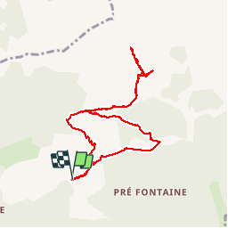

8,5 km | 15,9 km-effort

Utilisateur GUIDE


Application GPS de randonnée GRATUITE
 SityTrail
IGN / Instituts géographiques
SityTrail World
Le monde est à vous
Randonnée Marche de 9,6 km à découvrir à Provence-Alpes-Côte d'Azur, Hautes-Alpes, Montmaur. Cette randonnée est proposée par nadd73.
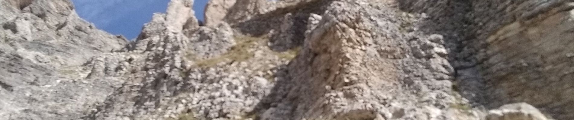
montée au pas de Paul escalier et pas d'escalade, mais comme nous ne savons pas ce qui nous attendait derrière nous avons renoncé.
Très exposée et un pas d'escalade. Pentes très raide à monter


Marche

Marche

Marche

Marche

Marche

Marche

Marche

Marche
Marche