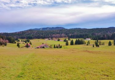
Randonnée Marche Gex - La Faucille Le Mailly Colomby de Gex - Photo

La Faucille Le Mailly Colomby de Gex

 HB01
HB01

Utilisateur

© OpenStreetMap contributors
Longueur
Longueur
18,9 km
Altitude max
Altitude max
1681 m
Dénivelé positif
Dénivelé positif
940 m
Km-Effort
Km-Effort  
31 km
Altitude min
Altitude min
1150 m
Dénivelé négatif
Dénivelé négatif
940 m
Boucle
Boucle
Oui
Date de création :
2019-09-14 08:04:04.316
Dernière modification :
2019-09-14 16:40:48.569

(0 Avis)

Marche
Marche
6h25
Difficulté : Moyen

Scannez ce code QR pour ouvrir la randonnée dans l'application SityTrail

Application GPS de randonnée GRATUITE

Logo SityTrail SityTrail

IGN / Instituts géographiques

Télécharger SityTrail sur l'App Store Télécharger SityTrail sur Google Play

Logo SityTrail SityTrail World

Le monde est à vous

Télécharger SityTrail sur l'App Store Télécharger SityTrail sur Google Play Télécharger SityTrail sur Huawei AppGallery

À propos

Randonnée Marche de 18,9 km à découvrir à Auvergne-Rhône-Alpes, Ain, Gex. Cette randonnée est proposée par HB01.

Description

Départ  La Faucille Petit Mont Rond Le Pailly Comby de Gex Crêtes La Faucille
du 15 Mai au 1er Décembre. fortes pentes

Profil altimétrique

Localisation

Pays :
France
Région :
Auvergne-Rhône-Alpes
Département/Province :
Ain
Commune :
Gex
Localité :
Unknown
Départ:(UTM)
270529 ; 5139304 (32T) N.

Randonnées à proximité

Randonnée Marche Lamoura - Tresberruy - Lamoura - Photo
Marche
tracegps

Marche

Difficile
(1)
Lamoura, Bourgogne-Franche-Comté, Jura, France
14,5 km | 20 km-effort
4h 0min
Oui
Randonnée Vélo Lajoux - Lajoux / Bellecombe - Photo
Vélo
daniellebou

Vélo

Très facile
(1)
Lajoux, Bourgogne-Franche-Comté, Jura, France
21 km | 26 km-effort
Inconnu
Oui
Randonnée Course à pied Mijoux - UTTJ 2015-2 - Photo
Course à pied
bourel.jacques

Course à pied

Très difficile
(1)
Mijoux, Auvergne-Rhône-Alpes, Ain, France
57 km | 92 km-effort
18h 13min
Non
Randonnée Marche Lamoura - lamoura neige et plein air - Photo
Marche
Nicolesophie08

Marche

Difficile
Lamoura, Bourgogne-Franche-Comté, Jura, France
6,8 km | 9,5 km-effort
2h 25min
Oui
Randonnée Marche Lamoura - neige et plein air lamoura - Photo
Marche
Nicolesophie08

Marche

Moyen
Lamoura, Bourgogne-Franche-Comté, Jura, France
6,8 km | 9,3 km-effort
2h 54min
Oui
Randonnée Marche Lajoux - Le crêt de la vigoureuse (le vrai) - Photo
Marche
GUIDE
stef789

Marche

Facile
Lajoux, Bourgogne-Franche-Comté, Jura, France
10,4 km | 13,4 km-effort
4h 9min
Oui
Randonnée Marche Lajoux - crêt vigoureuse - Photo
Marche
eltonnermou

Marche

Moyen
Lajoux, Bourgogne-Franche-Comté, Jura, France
12,3 km | 16,8 km-effort
5h 0min
Oui
Randonnée Marche Gex - Balade à Col de la Faucille, Gex - Photo
Marche
Gaiato

Marche

Très difficile
Gex, Auvergne-Rhône-Alpes, Ain, France
86 km | 135 km-effort
9h 23min
Non
Randonnée Cyclotourisme Mijoux - LES ROUSSES - COL DE LA FAUCILLE  - Photo
Cyclotourisme
jean-marie.parachini

Cyclotourisme

Très difficile
Mijoux, Auvergne-Rhône-Alpes, Ain, France
54 km | 68 km-effort
4h 57min
Non


Fermer
Mes abonnements