


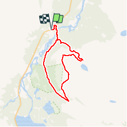

1,1 km | 1,4 km-effort

Utilisateur


Application GPS de randonnée GRATUITE
 SityTrail
IGN / Instituts géographiques
SityTrail World
Le monde est à vous
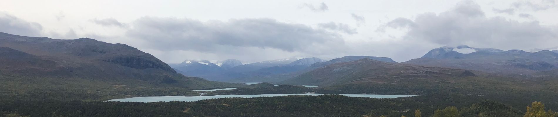
Randonnée Marche de 18,9 km à découvrir à Innlandet. Cette randonnée est proposée par damienbrugiere63.


