Mongolie111 SityTrail > Randonnées > Outdoor > Inconnu > Unknown > Unknown > Unknown SityTrail > Randonnées > Outdoor > Inconnu > Unknown > Unknown > Unknown Mongolie111 DUPORT16 Utilisateur 3D © OpenStreetMap contributors Longueur 91 km Altitude max 1669 m Dénivelé positif 1236 m Km-Effort 107 km Altitude min 1275 m Dénivelé négatif 1002 m Boucle Non Date de création : 2019-09-11 02:14:14.375 Dernière modification : 2019-09-11 05:34:36.377 (0 Avis) Voiture 3h18 Difficulté : Très facile Application GPS de randonnée GRATUITE SityTrail IGN / Instituts géographiques SityTrail World Le monde est à vous À propos 
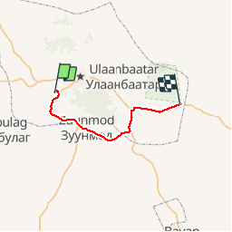
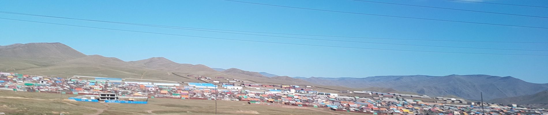
Randonnée Voiture de 91 km à découvrir à . Cette randonnée est proposée par DUPORT16. Légendes | Plus de détails (PDF) Profil altimétrique Légendes > 15% 15% - 10% 10% - 5% à plat 5% - 10% 10% - 15% 15% - 30% > 30% Photos Localisation Pays : Inconnu Région : Unknown Département/Province : Unknown Commune : Unknown Localité : Unknown Départ:(Dec) 47.852580935036485 / 106.76478046676326 Départ:(UTM) 632017 ; 5301423 (48T) N. Commentaires Veuillez vous connecter pour laisser un commentaire ou une note Randonnées à proximité DUPORT16 oulanpekin Avion Très facile , , , 1348 km | 0 m-effort 2h 17min Non