


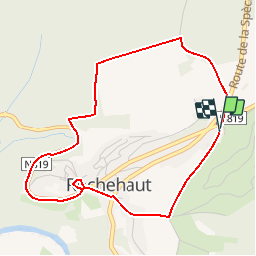

19,1 km | 27 km-effort

Utilisateur GUIDE


Application GPS de randonnée GRATUITE
 SityTrail
IGN / Instituts géographiques
SityTrail World
Le monde est à vous
Randonnée Marche de 4,1 km à découvrir à Wallonie, Luxembourg, Bouillon. Cette randonnée est proposée par Desrumaux.
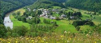
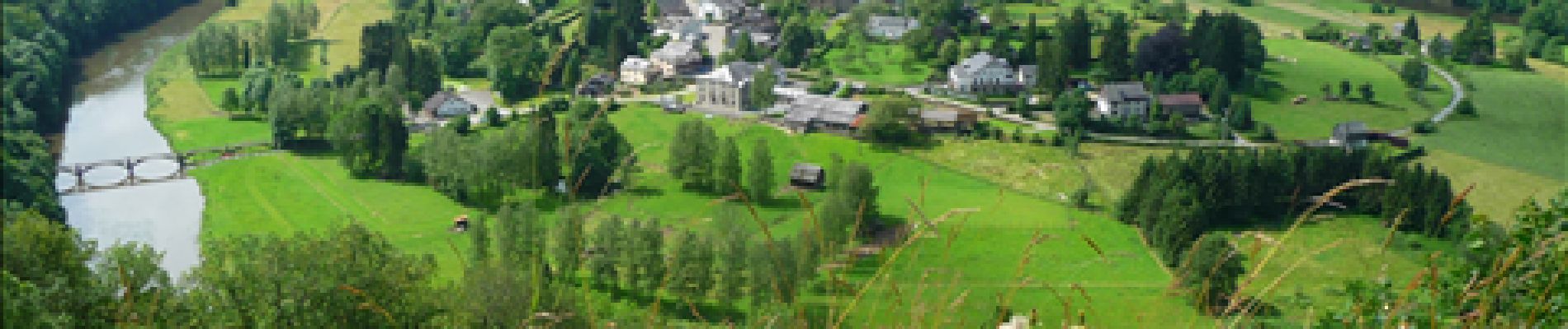
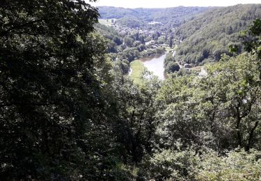
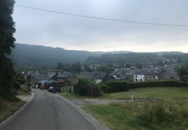
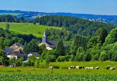
Jolie petite promenade en boucle qui vous permet de rejoindre le centre du village de Rochehaut au départ des gîtes de la ferme de Christine et Marc Boreux en empruntant d'agréables sentiers vous dévoilant des magnifiques vues.


Marche

Marche

Marche

Marche

Marche
Marche
Marche
Marche
Marche
Agréable balade malgré 600 d'une route relativement dangereuse