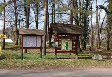
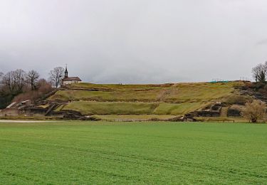
10,1 km | 13,5 km-effort
Mandeure-Thulay
gigi8825
Utilisateur
Longueur
14 km
Altitude max
574 m
Dénivelé positif
431 m
Km-Effort
19,7 km
Altitude min
355 m
Dénivelé négatif
431 m
Boucle
Oui
Date de création :
2019-09-09 22:00:56.515
Dernière modification :
2019-10-02 21:27:25.556
4h09
Difficulté : Difficile
Application GPS de randonnée GRATUITE
À propos
Randonnée Marche de 14 km à découvrir à Bourgogne-Franche-Comté, Doubs, Mandeure. Cette randonnée est proposée par gigi8825.
Localisation
Pays :
France
Région :
Bourgogne-Franche-Comté
Département/Province :
Doubs
Commune :
Mandeure
Localité :
Unknown
Départ:(Dec)
Départ:(UTM)
335638 ; 5255787 (32T) N.
Commentaires
Randonnées à proximité
Seloncourt, les 5 sapins (10 km )
Marche
Moyen
(1)
Seloncourt,
Bourgogne-Franche-Comté,
Doubs,
France
3h 3min
Oui
Mandeure, Les Grands Communaux 9.6 Km
Marche
Difficile
(1)
Mandeure,
Bourgogne-Franche-Comté,
Doubs,
France
9,6 km | 13,2 km-effort
2h 59min
Oui
Bourguignon, entre eau et forêt 9.5 Km
Marche
Moyen
(1)
Bourguignon,
Bourgogne-Franche-Comté,
Doubs,
France
9,5 km | 11,9 km-effort
2h 2min
Oui
2019.09.06.Roches
Marche
Très facile
Roches-lès-Blamont,
Bourgogne-Franche-Comté,
Doubs,
France
11,4 km | 16,5 km-effort
3h 12min
Oui
2019.09.05.Roches
Marche
Très facile
Roches-lès-Blamont,
Bourgogne-Franche-Comté,
Doubs,
France
10,8 km | 14,7 km-effort
2h 38min
Oui
source Charles
Marche
Facile
Mandeure,
Bourgogne-Franche-Comté,
Doubs,
France
5 km | 6,4 km-effort
1h 35min
Non
Théâtre Gallo-Romain de Mandeure 9 Km
Marche
Moyen
Mandeure,
Bourgogne-Franche-Comté,
Doubs,
France
9 km | 11,9 km-effort
2h 42min
Oui
2019.09.04.Roches
Marche
Très facile
Roches-lès-Blamont,
Bourgogne-Franche-Comté,
Doubs,
France
9,6 km | 12,9 km-effort
2h 31min
Oui
Etape 1 GTJ : Mandeure à Pont de Roide
Marche
Facile
Mandeure,
Bourgogne-Franche-Comté,
Doubs,
France
14 km | 18,1 km-effort
4h 40min
Non