12,3 km | 13,4 km-effort
lundi
herve.feurprier
Utilisateur
Longueur
22 km
Altitude max
25 m
Dénivelé positif
126 m
Km-Effort
23 km
Altitude min
0 m
Dénivelé négatif
126 m
Boucle
Oui
Date de création :
2019-09-09 10:15:25.299
Dernière modification :
2019-09-09 14:02:10.763
2h22
Difficulté : Très facile
Application GPS de randonnée GRATUITE
À propos
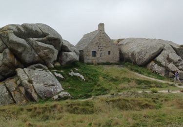
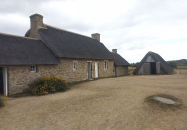
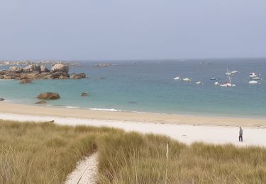
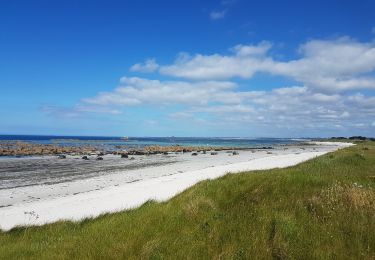
Randonnée V.T.C. de 22 km à découvrir à Bretagne, Finistère, Plounéour-Brignogan-Plages. Cette randonnée est proposée par herve.feurprier.
Localisation
Pays :
France
Région :
Bretagne
Département/Province :
Finistère
Commune :
Plounéour-Brignogan-Plages
Localité :
Plounéour-Trez
Départ:(Dec)
Départ:(UTM)
403037 ; 5389488 (30U) N.
Commentaires
Randonnées à proximité
Tour de Brignogan
Marche
Facile
(1)
Plounéour-Brignogan-Plages,
Bretagne,
Finistère,
France
2h 30min
Oui
03.09.23 Brignogan Plages -- Guissény
Marche
Difficile
Plounéour-Brignogan-Plages,
Bretagne,
Finistère,
France
16,6 km | 17,9 km-effort
4h 4min
Non
Brignogan Plage
Marche
Difficile
(1)
Plounéour-Brignogan-Plages,
Bretagne,
Finistère,
France
16,1 km | 17,2 km-effort
4h 0min
Oui
de Goulven à St Michel
Cyclotourisme
Moyen
Tréflez,
Bretagne,
Finistère,
France
44 km | 49 km-effort
4h 36min
Non
Bretagne 1
Marche
Difficile
(1)
Plounéour-Brignogan-Plages,
Bretagne,
Finistère,
France
15,9 km | 17,2 km-effort
4h 14min
Non
Brignogan - Guissény
Marche
Facile
Plounéour-Brignogan-Plages,
Bretagne,
Finistère,
France
16,7 km | 18 km-effort
4h 25min
Non
Poul Sant Dider
A pied
Facile
Plouider,
Bretagne,
Finistère,
France
6,3 km | 7,4 km-effort
1h 41min
Oui
meneham plouescat
Marche
Moyen
Kerlouan,
Bretagne,
Finistère,
France
17,7 km | 18,7 km-effort
5h 25min
Non