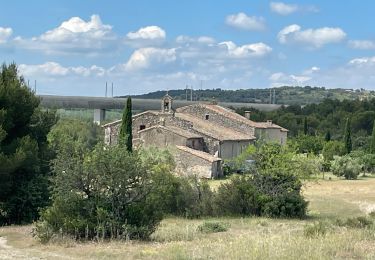
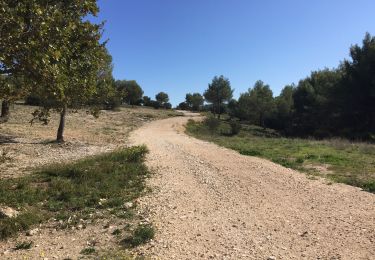
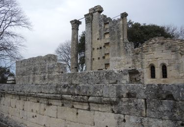
9,8 km | 12 km-effort
Chaîne des côtes-Nord est
Berpav
Utilisateur
Longueur
7,5 km
Altitude max
449 m
Dénivelé positif
247 m
Km-Effort
10,8 km
Altitude min
269 m
Dénivelé négatif
251 m
Boucle
Oui
Date de création :
2019-09-03 15:00:07.472
Dernière modification :
2019-09-03 15:02:03.393
2h16
Difficulté : Moyen
Application GPS de randonnée GRATUITE
À propos
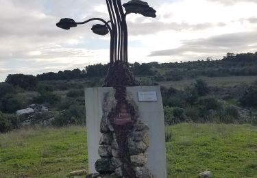
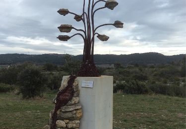
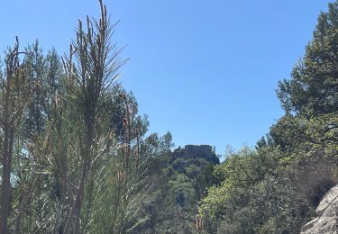
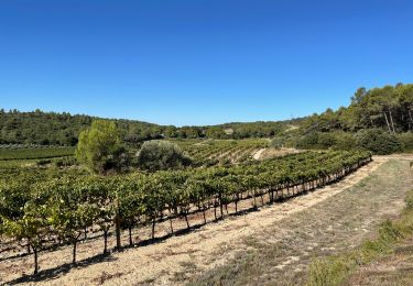
Randonnée Marche de 7,5 km à découvrir à Provence-Alpes-Côte d'Azur, Bouches-du-Rhône, Lambesc. Cette randonnée est proposée par Berpav.
Localisation
Pays :
France
Région :
Provence-Alpes-Côte d'Azur
Département/Province :
Bouches-du-Rhône
Commune :
Lambesc
Localité :
Unknown
Départ:(Dec)
Départ:(UTM)
681543 ; 4838722 (31T) N.
Commentaires
Randonnées à proximité
Château bas-Vernègues-chapelle
Marche
Facile
(3)
Vernègues,
Provence-Alpes-Côte d'Azur,
Bouches-du-Rhône,
France
2h 42min
Oui
GB LES JARDINS
Marche
Moyen
(3)
Lambesc,
Provence-Alpes-Côte d'Azur,
Bouches-du-Rhône,
France
5,7 km | 6,6 km-effort
1h 30min
Oui
Garachon-Beauchamp
Marche
Moyen
(1)
Lambesc,
Provence-Alpes-Côte d'Azur,
Bouches-du-Rhône,
France
7,8 km | 9,9 km-effort
2h 8min
Oui
PF-Vernègues - Château Bas-Badasset-Vernègues
Marche
Facile
(1)
Vernègues,
Provence-Alpes-Côte d'Azur,
Bouches-du-Rhône,
France
7,8 km | 9,7 km-effort
2h 8min
Oui
Chaine des Côtes
Marche
Moyen
(1)
Lambesc,
Provence-Alpes-Côte d'Azur,
Bouches-du-Rhône,
France
13,2 km | 17,9 km-effort
3h 48min
Oui
CHAINE DES COTES CHARLEVAL
Marche
Moyen
(1)
Charleval,
Provence-Alpes-Côte d'Azur,
Bouches-du-Rhône,
France
12,6 km | 17,9 km-effort
3h 46min
Oui
Gambadous - Charleval
Marche
Facile
(2)
Charleval,
Provence-Alpes-Côte d'Azur,
Bouches-du-Rhône,
France
7,5 km | 10,5 km-effort
2h 13min
Oui
PF-Vernègues - Saint Symphorien - Plateau - Saint Jacques - XA - 11.04.2024
Marche
Difficile
Vernègues,
Provence-Alpes-Côte d'Azur,
Bouches-du-Rhône,
France
10,2 km | 13,5 km-effort
3h 4min
Oui
Caire Val- les Costes -St Marcellin
Marche
Moyen
(1)
Rognes,
Provence-Alpes-Côte d'Azur,
Bouches-du-Rhône,
France
8,6 km | 10,7 km-effort
2h 26min
Oui