


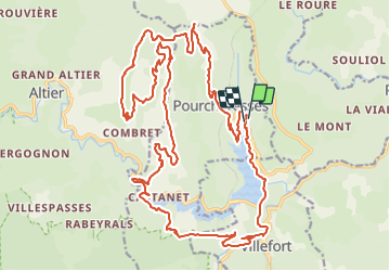

25 km | 36 km-effort


Utilisateur


Application GPS de randonnée GRATUITE
 SityTrail
IGN / Instituts géographiques
SityTrail World
Le monde est à vous
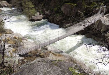
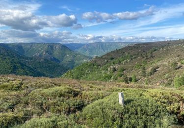
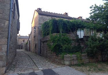
Randonnée V.T.T. de 33 km à découvrir à Occitanie, Lozère, Pourcharesses. Cette randonnée est proposée par solisolo.
Quelques passages techniques, mais vites oubliés par les magnifiques paysages, il faut quand même être en bonne condition physique.

Marche
Marche
Marche
Marche

Marche

Marche
Marche

Marche