


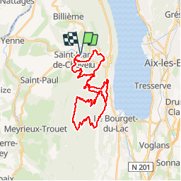

64 km | 94 km-effort


Utilisateur


Application GPS de randonnée GRATUITE
 SityTrail
IGN / Instituts géographiques
SityTrail World
Le monde est à vous
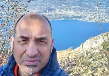
Randonnée Trail de 39 km à découvrir à Auvergne-Rhône-Alpes, Savoie, Saint-Jean-de-Chevelu. Cette randonnée est proposée par mattboz2014.

V.T.T.

Marche
Marche

Marche

Via ferrata
Marche

Marche
Marche
Marche