


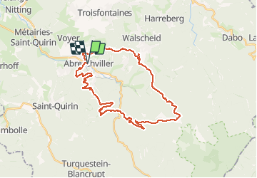

17 km | 23 km-effort


Utilisateur


Application GPS de randonnée GRATUITE
 SityTrail
IGN / Instituts géographiques
SityTrail World
Le monde est à vous
Randonnée V.T.T. de 33 km à découvrir à Grand Est, Moselle, Abreschviller. Cette randonnée est proposée par vathi54.
Début de la rando sympa avec montée dans des singles mais beaucoup trop de descente sur des pistes forestières sans intérêt. Pas de vue sur les crêtes. On a du changer de parcours sur la fin pour retrouver des desentes en singles.


Marche
Vélo

Randonnée équestre

V.T.T.
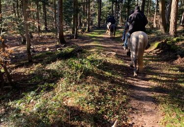
Randonnée équestre
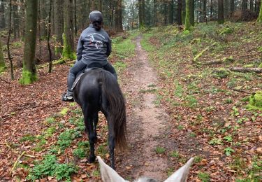
Randonnée équestre
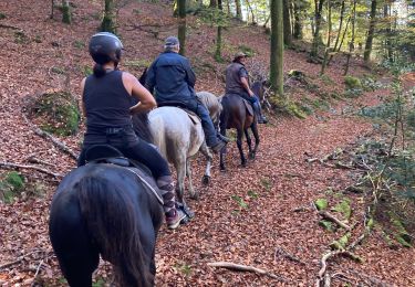
Randonnée équestre
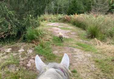
Randonnée équestre
Randonnée équestre