


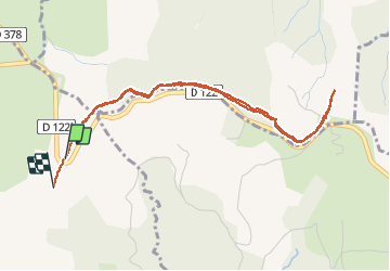

16,1 km | 24 km-effort


Utilisateur


Application GPS de randonnée GRATUITE
 SityTrail
IGN / Instituts géographiques
SityTrail World
Le monde est à vous
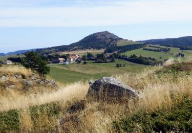
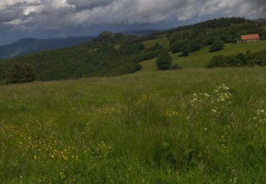
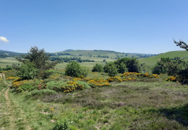
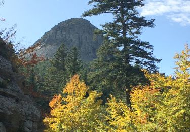
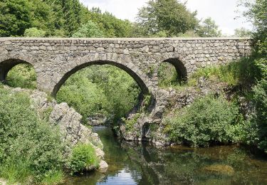
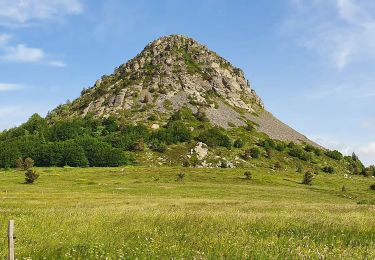
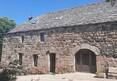
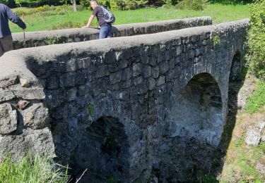
Randonnée Marche de 4,9 km à découvrir à Auvergne-Rhône-Alpes, Ardèche, Sagnes-et-Goudoulet. Cette randonnée est proposée par sandrineh.
Un A/R plutôt facile en partant depuis le parking de la tour à eaux. Prévoir quand même des chaussures qui tiennent bien. Le chemin traverse parfois des roches/cailloux ou de la tourbe.
Marche
Marche
Marche
Marche
Marche
Marche
Marche
Marche

Marche