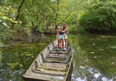
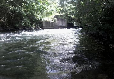
Randonnée Aviron Rhinau - xc 190826 barque eva gouy - Photo

xc 190826 barque eva gouy

 xc
xc

Utilisateur

© OpenStreetMap contributors
Longueur
Longueur
2,2 km
Altitude max
Altitude max
166 m
Dénivelé positif
Dénivelé positif
15 m
Km-Effort
Km-Effort  
2,4 km
Altitude min
Altitude min
157 m
Dénivelé négatif
Dénivelé négatif
13 m
Boucle
Boucle
Non
Date de création :
2019-08-26 08:07:43.953
Dernière modification :
2019-08-26 11:45:28.224

(0 Avis)

Aviron
Aviron
1h22
Difficulté : Très facile

Scannez ce code QR pour ouvrir la randonnée dans l'application SityTrail

Application GPS de randonnée GRATUITE

Logo SityTrail SityTrail

IGN / Instituts géographiques

Télécharger SityTrail sur l'App Store Télécharger SityTrail sur Google Play

Logo SityTrail SityTrail World

Le monde est à vous

Télécharger SityTrail sur l'App Store Télécharger SityTrail sur Google Play Télécharger SityTrail sur Huawei AppGallery

À propos

Randonnée Aviron de 2,2 km à découvrir à Grand Est, Bas-Rhin, Rhinau. Cette randonnée est proposée par xc.

Profil altimétrique

Localisation

Pays :
France
Région :
Grand Est
Département/Province :
Bas-Rhin
Commune :
Rhinau
Localité :
Unknown
Départ:(UTM)
402904 ; 5350792 (32U) N.

Randonnées à proximité

Randonnée Cheval Friesenheim - 2015-04-06 Balade des allées cavalieres - Photo
Cheval
GUIDE
holtzv

Cheval

Facile
(1)
Friesenheim, Grand Est, Bas-Rhin, France
32 km | 34 km-effort
5h 9min
Oui
Randonnée Marche Rhinau - ile de rhinau2 - Photo
Marche
apa

Marche

Moyen
Rhinau, Grand Est, Bas-Rhin, France
10,4 km | 11,6 km-effort
2h 45min
Non
Randonnée Marche Rhinau - Île de Rhinau  - Photo
Marche
apa

Marche

Facile
Rhinau, Grand Est, Bas-Rhin, France
9,3 km | 10,5 km-effort
2h 39min
Oui
Randonnée V.T.C. Friesenheim - bac rhinau - Photo
V.T.C.
jackber

V.T.C.

Très facile
Friesenheim, Grand Est, Bas-Rhin, France
47 km | 51 km-effort
6h 26min
Oui
Randonnée Marche Rhinau - centrale électrique de Rhinau - Photo
Marche
jo-da

Marche

Très facile
(1)
Rhinau, Grand Est, Bas-Rhin, France
4,1 km | 4,6 km-effort
2h 14min
Oui
Randonnée Marche Rhinau - Sentier des sources - Photo
Marche
Claudele

Marche

Très facile
(2)
Rhinau, Grand Est, Bas-Rhin, France
12,6 km | 13,6 km-effort
4h 27min
Oui
Randonnée Marche Rheinau/Rhinau - Du Bac de Rhinau à Rust - Photo
Marche
Claudele

Marche

Très facile
Rheinau/Rhinau, Bade-Wurtemberg, Ortenaukreis, Allemagne
7,4 km | 7,9 km-effort
1h 25min
Non
Randonnée Canoë - kayak Rhinau - Canoé-brunnwasser en canoé - Photo
Canoë - kayak
benoit747

Canoë - kayak

Très facile
Rhinau, Grand Est, Bas-Rhin, France
7 km | 7,5 km-effort
2h 0min
Non
Randonnée Cheval Friesenheim - 2013-06-05 Balade avec Laurent - Photo
Cheval
GUIDE
holtzv

Cheval

Très facile
Friesenheim, Grand Est, Bas-Rhin, France
11,9 km | 13,1 km-effort
1h 30min
Oui


Fermer
Mes abonnements