


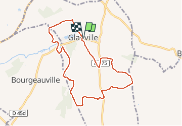

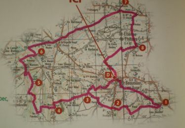
6,7 km | 8,9 km-effort


Utilisateur


Application GPS de randonnée GRATUITE
 SityTrail
IGN / Instituts géographiques
SityTrail World
Le monde est à vous
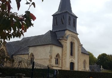
Randonnée Marche de 8,6 km à découvrir à Normandie, Calvados, Glanville. Cette randonnée est proposée par jchezlemas.
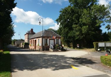
parking à la mairie
après Resto pour se remettre
Le Clos des Pommiers
http://www.gonnevillesurmer.fr/a-gonneville-sur-mer/gonneville-sur-mer/restauration/le-clos-des-pommiers/
ou La Tornade
https://www.brasserie-latornade.fr/

Marche
Marche
Marche
Vélo électrique
Marche
Marche
Marche

V.T.T.
Marche
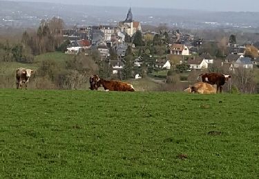
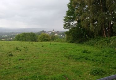
ok ça grimpe