

Balbronn à Balbronn

26051010
Utilisateur

Longueur
69 km
Boucle
Non
Date de création :
2019-08-25 09:38:08.0
Dernière modification :
2019-08-25 20:19:30.41
10h30
Difficulté : Moyen

Application GPS de randonnée GRATUITE
À propos
Randonnée V.T.T. de 69 km à découvrir à Grand Est, Bas-Rhin, Balbronn. Cette randonnée est proposée par 26051010.
Description
Petite promenade à VTT
De Balbronn à Balbronn la fin du circuit est Balbronn il faut maximum 3h le reste est une erreur car je n’ai pas enregistré tout de suite mais que une fois rentré chez nous à ostwald
Localisation
Pays :
France
Région :
Grand Est
Département/Province :
Bas-Rhin
Commune :
Balbronn
Localité :
Unknown
Départ:(Dec)
Départ:(UTM)
384845 ; 5382369 (32U) N.
Commentaires
Randonnées à proximité
wolxheim, chapelle st-denis.


Marche
Moyen
(1)
Wolxheim,
Grand Est,
Bas-Rhin,
France

6,9 km | 8,3 km-effort
2h 19min
Oui
Les Chapelles entre vignoble et canal


Marche
Moyen
(2)
Molsheim,
Grand Est,
Bas-Rhin,
France

14,8 km | 17 km-effort
3h 43min
Oui
Les Grandes Manoeuvres


V.T.T.
Très difficile
(1)
Dinsheim-sur-Bruche,
Grand Est,
Bas-Rhin,
France

45 km | 59 km-effort
4h 0min
Oui

2023-04-23 Picnic CVA La Mercière depuis Westhoffen


Randonnée équestre
Moyen
Westhoffen,
Grand Est,
Bas-Rhin,
France

31 km | 43 km-effort
5h 28min
Oui
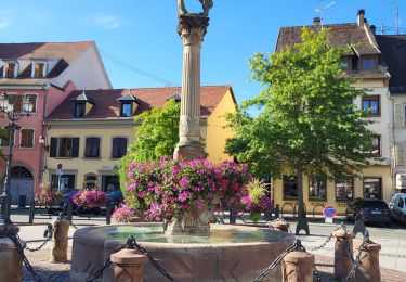
Molsheim - Fort de Mutzig - Balade dans les vignes


Marche
Très difficile
Molsheim,
Grand Est,
Bas-Rhin,
France

16,9 km | 21 km-effort
4h 45min
Oui
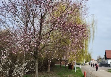
Bergbieten 20240307


Marche nordique
Très facile
Bergbieten,
Grand Est,
Bas-Rhin,
France

11,3 km | 15,3 km-effort
2h 42min
Oui

Molsheim - les bords de la Bruche - Dompeter


Marche
Facile
Molsheim,
Grand Est,
Bas-Rhin,
France

11,5 km | 12,3 km-effort
2h 18min
Oui
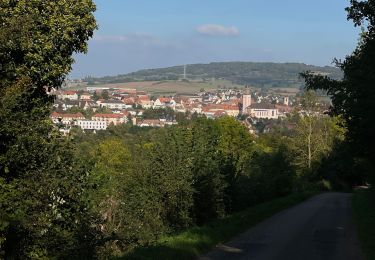
Schrrachbergheim - COL des Pandours


Vélo électrique
Moyen
Scharrachbergheim-Irmstett,
Grand Est,
Bas-Rhin,
France

76 km | 92 km-effort
4h 10min
Non


 SityTrail


