


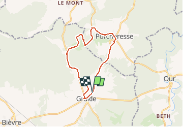

11,5 km | 14,5 km-effort


Utilisateur


Application GPS de randonnée GRATUITE
 SityTrail
IGN / Instituts géographiques
SityTrail World
Le monde est à vous
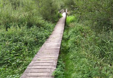
Randonnée Marche de 11,2 km à découvrir à Wallonie, Namur, Bièvre. Cette randonnée est proposée par ThierryMartin.
A la découverte des petits villages de Graide et Porcheresse en passant par la pompe à eau de 1870 (en fait, une machine à élever les eaux). La pompe est située au creux d'une petite vallée dans un décor typiquement ardennais.

Marche

Marche

Marche
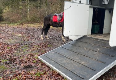
Randonnée équestre
Marche
Marche

Marche
A pied
Très décevant, plus de la moitié du parcours sur route goudronnée.
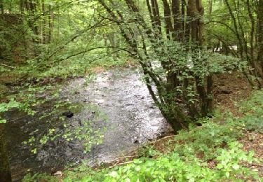
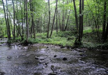
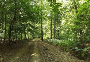
Belle ballade avec des parcours très différents : forêt, village, petits sentiers. Chouette. Nath&Pat