


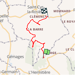

11,3 km | 13,2 km-effort


Utilisateur


Application GPS de randonnée GRATUITE
 SityTrail
IGN / Instituts géographiques
SityTrail World
Le monde est à vous
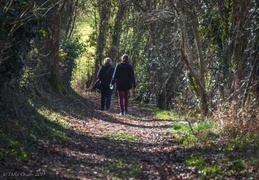
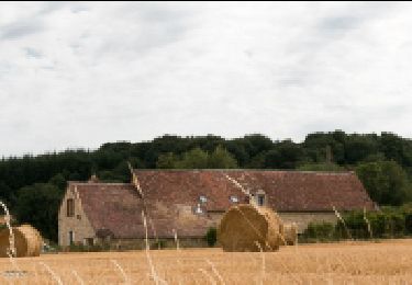
Randonnée Marche de 9 km à découvrir à Normandie, Orne, Val-au-Perche. Cette randonnée est proposée par ODDAD78.
Parcours nécessitant une navette automobile.
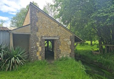
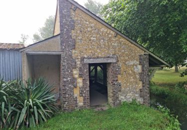
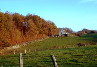
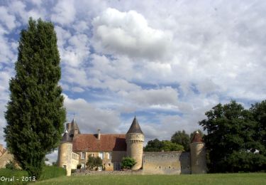
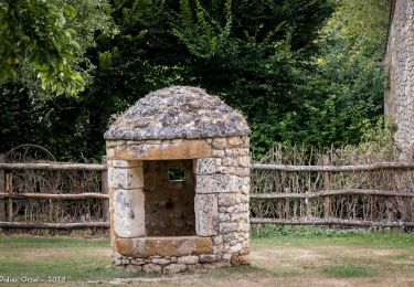
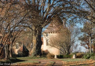
Passe par : un dolmen, une motte féodale, un manoir/ferme, un manoir/château et un prieuré.
Marche

Marche
Marche
Marche
Marche
Marche
Marche
Marche
Marche