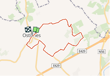

9,2 km | 10,3 km-effort


Utilisateur


Application GPS de randonnée GRATUITE
 SityTrail
IGN / Instituts géographiques
SityTrail World
Le monde est à vous
Randonnée Marche de 7,2 km à découvrir à Wallonie, Hainaut, Ath. Cette randonnée est proposée par rfnet.
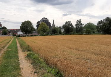
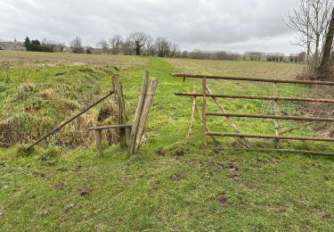
Petite balade dominicale dans le beau village d'Ostiche, autour de son emblématique moulin à vent. Pas de difficultés particulières, une partie sur chemin agricole défoncé qui peut engendrer des entorses. Sur route en général pas d'accotement pour piéton.


A pied
A pied

A pied

A pied

A pied
Marche

Marche
Marche