


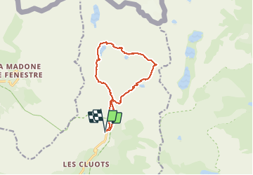

6,7 km | 13,6 km-effort

Utilisateur GUIDE


Application GPS de randonnée GRATUITE
 SityTrail
IGN / Instituts géographiques
SityTrail World
Le monde est à vous
Randonnée Marche de 13 km à découvrir à Provence-Alpes-Côte d'Azur, Alpes-Maritimes, Belvédère. Cette randonnée est proposée par donda.
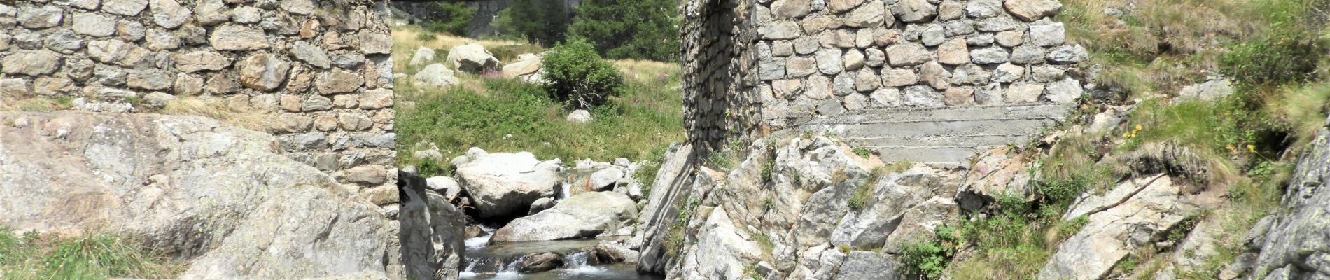
Départ Pont du Countet - Mur des Italiens - lac de la Fous - refuge de Nice - lac Niré - lac Autier - Pont du Countet
Refait le 20/08/20


A pied

Marche

A pied

A pied

A pied

Marche

Marche

Marche

Marche