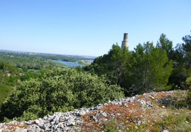
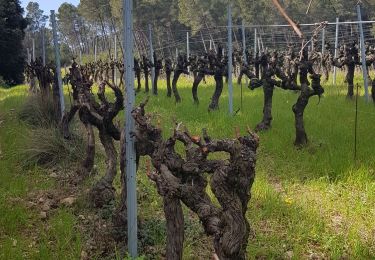
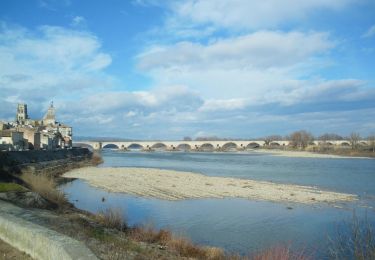
10 km | 13,6 km-effort
Valéry alpilles 1
tixier
Utilisateur
Longueur
8,9 km
Altitude max
194 m
Dénivelé positif
217 m
Km-Effort
11,8 km
Altitude min
13 m
Dénivelé négatif
223 m
Boucle
Oui
Date de création :
2014-12-10 00:00:00.0
Dernière modification :
2014-12-10 00:00:00.0
1h40
Difficulté : Très facile
Application GPS de randonnée GRATUITE
À propos
Randonnée Autre activité de 8,9 km à découvrir à Provence-Alpes-Côte d'Azur, Bouches-du-Rhône, Tarascon. Cette randonnée est proposée par tixier.
Localisation
Pays :
France
Région :
Provence-Alpes-Côte d'Azur
Département/Province :
Bouches-du-Rhône
Commune :
Tarascon
Localité :
Unknown
Départ:(Dec)
Départ:(UTM)
636849 ; 4847954 (31T) N.
Commentaires
Randonnées à proximité
ND du Château
Marche
Facile
(1)
Saint-Étienne-du-Grès,
Provence-Alpes-Côte d'Azur,
Bouches-du-Rhône,
France
2h 59min
Oui
Chapelle Saint Gabriel
Marche
Très difficile
Tarascon,
Provence-Alpes-Côte d'Azur,
Bouches-du-Rhône,
France
18,6 km | 25 km-effort
5h 23min
Oui
CR_Domitia_BA_23_Tarascon_St-Remy-Provence_20220404
Marche
Moyen
Tarascon,
Provence-Alpes-Côte d'Azur,
Bouches-du-Rhône,
France
17 km | 22 km-effort
4h 42min
Non
Beaucaire/ St Roman
Marche
Facile
Beaucaire,
Occitanie,
Gard,
France
14,7 km | 18,6 km-effort
3h 42min
Oui
Saint Etienne du Grès
Marche
Facile
Saint-Étienne-du-Grès,
Provence-Alpes-Côte d'Azur,
Bouches-du-Rhône,
France
11,4 km | 16 km-effort
4h 44min
Oui
Mont Paon1 La Lèque
Marche
Moyen
Tarascon,
Provence-Alpes-Côte d'Azur,
Bouches-du-Rhône,
France
13,4 km | 18,2 km-effort
3h 48min
Oui
Via Rhôna de Tarascon à bourg-saint-andéol
Vélo
Facile
Tarascon,
Provence-Alpes-Côte d'Azur,
Bouches-du-Rhône,
France
108 km | 118 km-effort
6h 46min
Non
Alpilles Ouest - St-Gabriel
Marche
Moyen
Tarascon,
Provence-Alpes-Côte d'Azur,
Bouches-du-Rhône,
France
8,2 km | 11 km-effort
2h 30min
Oui