


15,4 km | 33 km-effort


Utilisateur


Application GPS de randonnée GRATUITE
 SityTrail
IGN / Instituts géographiques
SityTrail World
Le monde est à vous
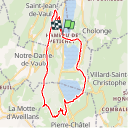
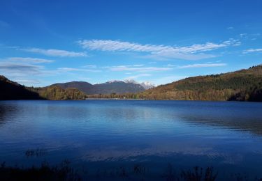
Randonnée Randonnée équestre de 19,2 km à découvrir à Auvergne-Rhône-Alpes, Isère, Saint-Théoffrey. Cette randonnée est proposée par Celine1217.
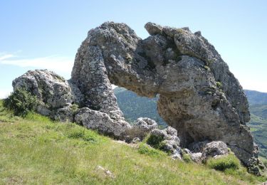
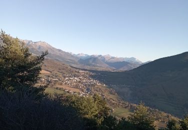
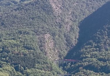
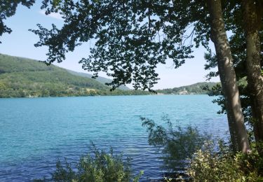
Jolie balade de 4h environ, avec belle vue depuis la Roche Percée, et trempette dans le lac. Aucune difficulté, mais 3 traversées délicates de la route nationale.
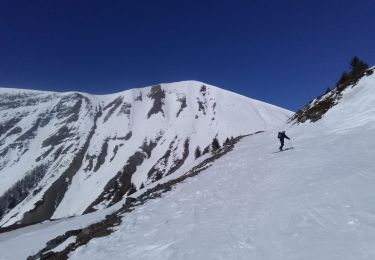
Ski de randonnée
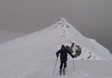
Ski de randonnée
Marche

V.T.T.
Marche
Marche
Marche
Marche
Marche