


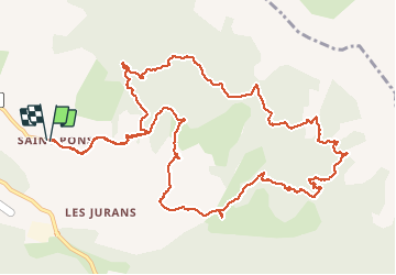

15,7 km | 24 km-effort


Utilisateur GUIDE


Application GPS de randonnée GRATUITE
 SityTrail
IGN / Instituts géographiques
SityTrail World
Le monde est à vous
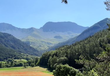
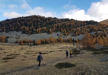
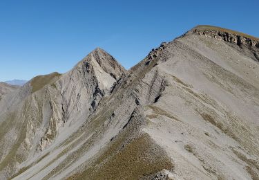
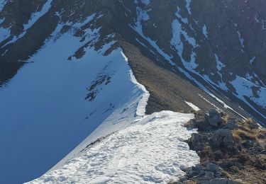
Randonnée Marche de 15,5 km à découvrir à Provence-Alpes-Côte d'Azur, Alpes-de-Haute-Provence, Seyne. Cette randonnée est proposée par RobinMicheline.
15 kms 5 h de marche Belle randonnée vu chamois. Pas toujours bien indiquer. sentier après chateau limite
Marche

Marche
Marche
Marche
Marche
Marche

Marche
Marche
Marche