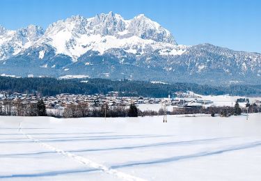
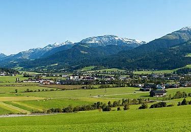
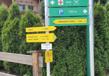
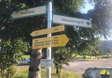
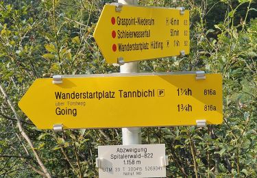
3,3 km | 3,7 km-effort
hinterkaiser
SaintEloi4
Utilisateur
Longueur
8,5 km
Altitude max
828 m
Dénivelé positif
240 m
Km-Effort
11,7 km
Altitude min
681 m
Dénivelé négatif
242 m
Boucle
Oui
Date de création :
2019-08-10 08:40:18.367
Dernière modification :
2019-08-10 14:19:17.187
2h39
Difficulté : Très facile
Application GPS de randonnée GRATUITE
À propos
Randonnée Marche de 8,5 km à découvrir à Tyrol, Bezirk Kitzbühel, Marktgemeinde St. Johann in Tirol. Cette randonnée est proposée par SaintEloi4.
Localisation
Pays :
Autriche
Région :
Tyrol
Département/Province :
Bezirk Kitzbühel
Commune :
Marktgemeinde St. Johann in Tirol
Localité :
Unknown
Départ:(Dec)
Départ:(UTM)
302712 ; 5267487 (33T) N.
Commentaires
Randonnées à proximité
Projekt & Bautechnik Runde
A pied
Facile
Marktgemeinde St. Johann in Tirol,
Tyrol,
Bezirk Kitzbühel,
Autriche
50min
Non
Dorfbachrunde
A pied
Facile
Gemeinde Oberndorf in Tirol,
Tyrol,
Bezirk Kitzbühel,
Autriche
4,7 km | 6,3 km-effort
1h 25min
Non
Wanderweg 9 - Niederkaiser
A pied
Facile
Gemeinde Kirchdorf in Tirol,
Tyrol,
Bezirk Kitzbühel,
Autriche
4,3 km | 8,1 km-effort
1h 51min
Non
Wanderweg 14 - Wilder Kaiser
A pied
Moyen
Gemeinde Ellmau,
Tyrol,
Bezirk Kufstein,
Autriche
14,1 km | 22 km-effort
4h 59min
Oui
Wanderweg 5 - Going
A pied
Facile
Gemeinde Going am Wilden Kaiser,
Tyrol,
Bezirk Kitzbühel,
Autriche
6,2 km | 8,7 km-effort
1h 58min
Oui
Wanderweg 14 - Going
A pied
Facile
Gemeinde Going am Wilden Kaiser,
Tyrol,
Bezirk Kitzbühel,
Autriche
3,2 km | 4,4 km-effort
1h 0min
Non
Wanderweg 33 - Niederkaiser
A pied
Facile
Gemeinde Going am Wilden Kaiser,
Tyrol,
Bezirk Kitzbühel,
Autriche
3,2 km | 5 km-effort
1h 7min
Non
Gildensteig
A pied
Facile
Gemeinde Going am Wilden Kaiser,
Tyrol,
Bezirk Kitzbühel,
Autriche
4 km | 14,3 km-effort
3h 14min
Non
Fußweg Angerer Alm
A pied
Facile
Marktgemeinde St. Johann in Tirol,
Tyrol,
Bezirk Kitzbühel,
Autriche
4,2 km | 10,5 km-effort
2h 22min
Non