


7,4 km | 16,7 km-effort

Utilisateur


Application GPS de randonnée GRATUITE
 SityTrail
IGN / Instituts géographiques
SityTrail World
Le monde est à vous
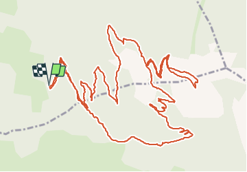
Randonnée Marche de 10,5 km à découvrir à Provence-Alpes-Côte d'Azur, Hautes-Alpes, Saint-Sauveur. Cette randonnée est proposée par gildascb.
Une jolie balade en boucle, assez bien ombragée, mais qui offre quand même de nombreux points de vue sur la majorité du parcours.
Départ du parking de la forêt sur la commune des Orres (chef lieu). À partir du village, se diriger vers l'église et continuer en direction du Méale et du parking de la forêt. Les deux derniers kilomètres ne sont pas goudronnés.
(D/A) Partir au Nord par un sentier perpendiculaire au parking en suivant la direction du Méale par le Serre.
NB : À la Platrière, un court aller-retour conduit à un point de vue. Couper une piste (1955m).
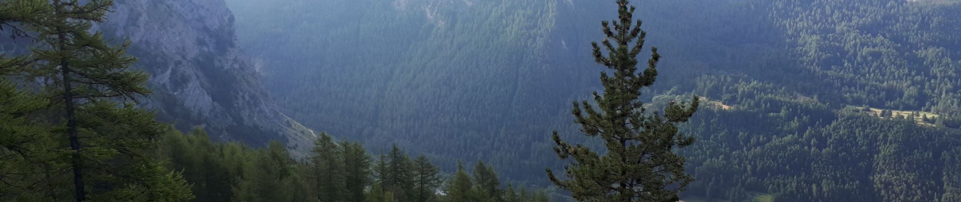
 - Photo 1")
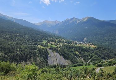
 - Photo 2")
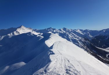
 - Photo 3")

Autre activité

Marche

Marche

Marche

Marche

Marche

Marche
V.T.T.
Ski de randonnée