


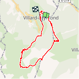

18,4 km | 36 km-effort


Utilisateur


Application GPS de randonnée GRATUITE
 SityTrail
IGN / Instituts géographiques
SityTrail World
Le monde est à vous
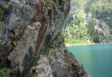
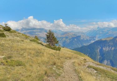
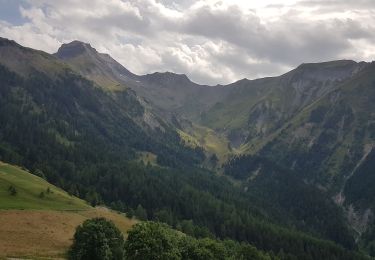
Randonnée Marche de 11,8 km à découvrir à Auvergne-Rhône-Alpes, Isère, Villard-Reymond. Cette randonnée est proposée par 2ni.
Magnifique balade à faire bien chaussé. Première partie avec gros dénivelé mais agréable en sous bois, puis grand passage en alpage, et un stop aux vasques d’eau fraîche, puis retour village. Réalisée en août, journée chaude et grand soleil. Ne pas oublier de prendre beaucoup d’eau.

Marche
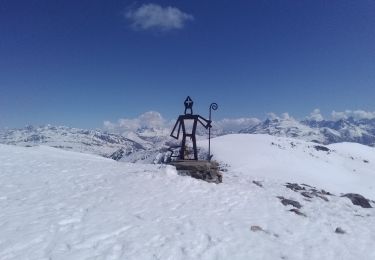
Ski de randonnée

Ski de randonnée

Marche
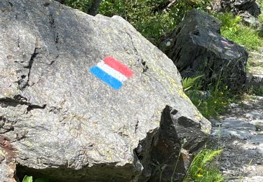
Marche
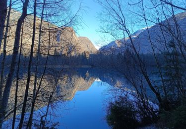
Marche
Marche
Marche
Marche