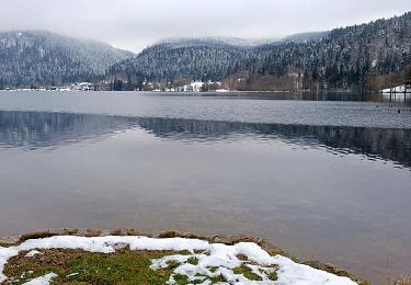
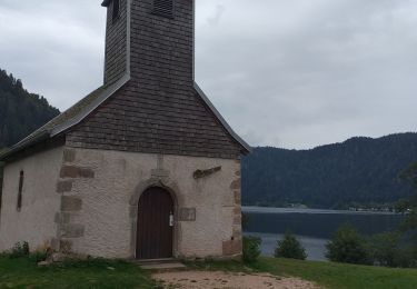
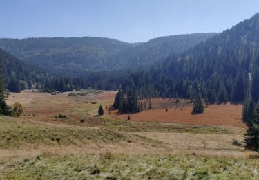
9,8 km | 12,6 km-effort
xonrupt
FAMILLELSALLE
Utilisateur
Longueur
18,7 km
Altitude max
915 m
Dénivelé positif
470 m
Km-Effort
25 km
Altitude min
605 m
Dénivelé négatif
470 m
Boucle
Oui
Date de création :
2019-08-06 09:27:06.91
Dernière modification :
2019-08-08 10:15:37.972
1h32
Difficulté : Très facile
Application GPS de randonnée GRATUITE
À propos
Randonnée V.T.T. de 18,7 km à découvrir à Grand Est, Vosges, Ban-sur-Meurthe-Clefcy. Cette randonnée est proposée par FAMILLELSALLE.
Localisation
Pays :
France
Région :
Grand Est
Département/Province :
Vosges
Commune :
Ban-sur-Meurthe-Clefcy
Localité :
Unknown
Départ:(Dec)
Départ:(UTM)
347800 ; 5331757 (32U) N.
Commentaires
Randonnées à proximité
La vallée de Belbriette - Ban-sur-Meurthe-Clefcy
Marche
Moyen
(2)
Ban-sur-Meurthe-Clefcy,
Grand Est,
Vosges,
France
2h 30min
Oui
Le tour du lac de longemer
Marche
Moyen
Xonrupt-Longemer,
Grand Est,
Vosges,
France
5,2 km | 6,1 km-effort
1h 22min
Oui
XTerra VTT 2014
V.T.T.
Moyen
(1)
Xonrupt-Longemer,
Grand Est,
Vosges,
France
19 km | 28 km-effort
1h 47min
Non
Longemer 2023.09.11
Marche
Moyen
(1)
Xonrupt-Longemer,
Grand Est,
Vosges,
France
6,4 km | 9 km-effort
1h 37min
Oui
xonrupt retournemer
Marche
Très difficile
Gérardmer,
Grand Est,
Vosges,
France
19,1 km | 26 km-effort
5h 54min
Oui
Tour des lacs de Longemer et Retournemer et cascades
Marche
Facile
(1)
Xonrupt-Longemer,
Grand Est,
Vosges,
France
12,3 km | 15,8 km-effort
2h 57min
Oui
Sentier du tour du lac de Gérardmer
Marche
Moyen
Xonrupt-Longemer,
Grand Est,
Vosges,
France
5,2 km | 6,2 km-effort
1h 24min
Oui
2021-10-09 Marche St Die Metzeral Jour 2
Marche
Très difficile
Ban-sur-Meurthe-Clefcy,
Grand Est,
Vosges,
France
26 km | 40 km-effort
7h 23min
Non